VTE Gao Rung
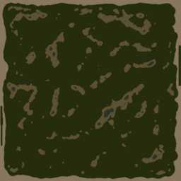
51.2km x 51.2km terrain with low resolution satellite texture.

This web page is work in progress, sorry :(
Gao Rung (jungle rice) - old name: VTE Aircombat. This terrain dates back to WrpTool times, it was created using Wilbur and WrpTool back in arma2.
Heightmap elevations min: -50.00m, max 686.68m, average 64.39m, range 736.68m, above sea level: 92.37%.
Terrain Specifications
Heightmap grid size: 4096 x 4096
Cell size: 12.5m
Satellite texture resolution: 20,480 x 20,480 pixels
Satellite surface mask size: 512 x 512 pixels
Texture layer size: 50m x 50m
Number of objects 1.8 million.
Back to ArmA 3 VTE Terrain's page.