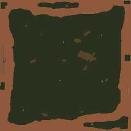
VTE Vietnam 12km
12.8km x 12.8km terrain with high resolution satellite texture.

This web page is work in progress, sorry :(
This terrain was created using WrpTool back in the Operation Flashpoint days. When WrpTool development launched in 2003 this was the first terrain created during development of WrpTool. There are so many golden memories regarding this terrain, a simply historical terrain in grand scheme of things.
Terrain Specifications
Heightmap grid size: 256 x 256
Cell size: 50m
Satellite texture resolution: 12,800 x 12,800 pixels
Satellite surface mask size: 512 x 512 pixels
Texture layer size: 50m x 50m
Back to ArmA 3 VTE Terrain's page.